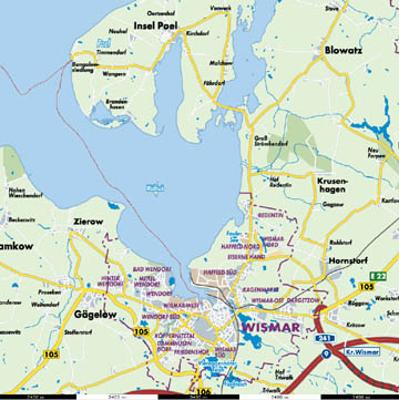
The Baltic coast of what is today Germany and Poland was, from the early middle ages, wrapped up in Danish and Swedish history. Wismar is no exception. The town and harbor existed in some form in the early 12th century and probably earlier. It was one of the earliest cities involved with forming the Hanseatic League. As such, it prospered until the Thirty Years War (1618 – 1648) After the war it was left under Swedish control and was built into one of the largest fortresses in Europe. There were several successful sieges, the first in 1675 by forces of the Danish King and the Elector of Brandenburg. (By the way Berlin was a part of Brandenburg at that time.) Around the end of the Great Northern War (1700-1721) most of the fortifications were dismantled, including those on the little island in the center of the bay. It was a fort that is today a nature preserve with only a bit of ruin left to show its past use. This map comes from www.stadtplandienst.de (Urheber: Dr. h.c. Hans Biermann © Copyright Euro-Cities AG) and is here only for private use.
|
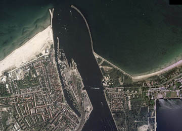
Today the harbor looks a bit like a hand with four fingers and a thumb. The “middle finger” is a bit thin and crooked. That's because it's old. Formed by a small stream that flows into the bay, it's the old harbor and points to the old city in the lower right corner of the picture. You can make out the round form of an old city, ringed by a city wall, even though the wall has been gone for hundreds of years. The thumb is the new dry-dock and ship-building works. The “pointer finger” is where I stayed. The “little finger” (that's not so little) is the new commercial shipping area.
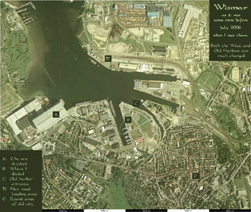
In 1757 Wismar was again attacked and captured. This time by the Prussian King. (In case you're not up on German history, this was actually the Elector of Brandenburg, but since 1701 he had made himself “King in Prussia”.) This was a battle of the European part of what, in America, is known as the “French and Indian War”...go figure. Wismar was still a part of Sweden until 1803 and only in 1903 was it finally and officially a part of the new German Empire. The aerial picture comes from www.stadtplandienst.de, is © GeoContent GmbH and is here only for private use.
|
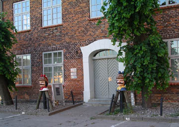
These are replicas of the “Swedish heads” that once marked the entrance of the harbor.
|
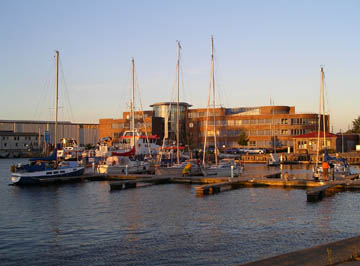
This harbor is a third possible place I could have docked. The new building houses the police headquarters and is at the end of the “ring finger”.
|
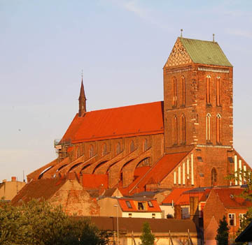
Sankt Nikolai
|
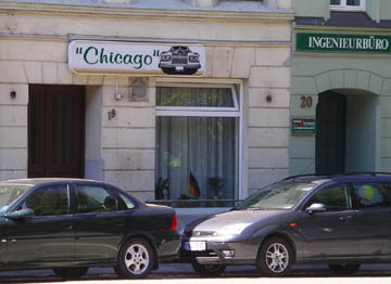
I think this is a restaurant.
|
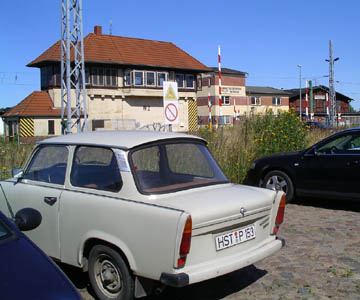
A “Trabi” parked near the train station. Trabants were one of the better known products of East Germany. You don't see them so often now since there is an official effort to get them off the roads for environmental reasons. They used a two-stroke air-cooled motor that requires oil added to the gas just like a lawn mower.
|
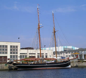
I saw this ship out on the water on my way into Wismar. It is run for tourist cruses. This picture was taken from my cockpit in the West Harbor.
|
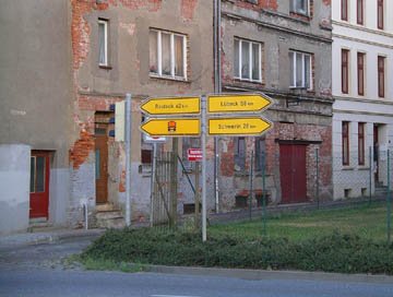
It seemed farther sailing. But those are my last big town and my next one.
|
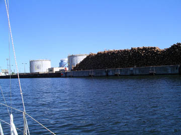
Leaving Wismar. Those are logs piled up on the dock. My chart said I could buy diesel here, but it seems you have to have a big ship and an appointment. I'm on my way, on east.
|
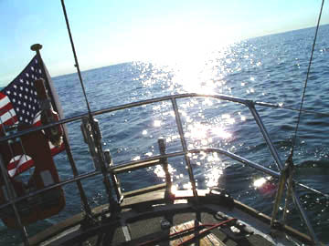
Late afternoon. It was as a bright sunny day. Sorry about holding the camera funny; the boat wasn't slanted.
|
I took this picture at 6:40 PM. In 8 ˝ hours I had only managed to make good about 22 kilometers. It had seemed that, as I left the harbor and sailed around the Island Poel, the wind always came from dead ahead.
|